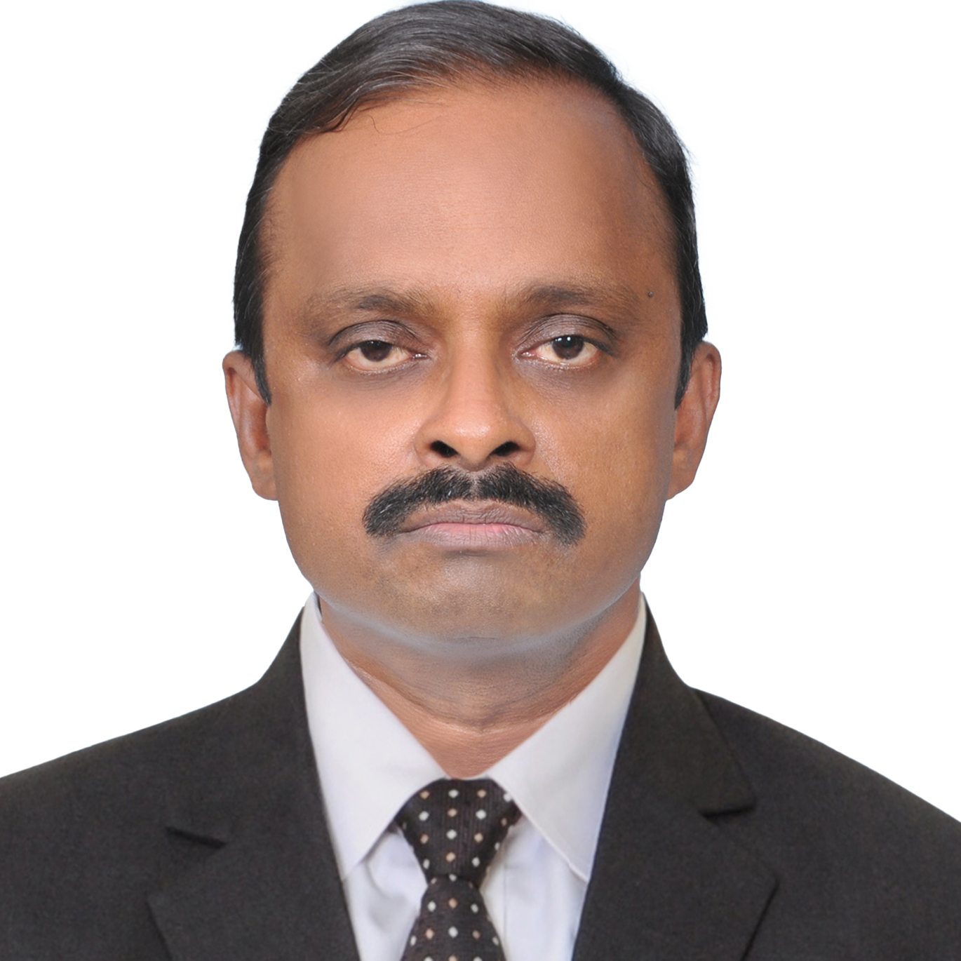
My journey from the start of my professional career to the present day has been quite remarkable. It all began in 1994 when I embarked on my professional path with a Gujarat-based company specializing in CAD and GIS services for both overseas and Indian clients. Back then, GIS was still a new technology, nascent to most of us. However, my educational background in Geophysics, coupled with my experience as a Research Associate in an ISRO-sponsored project at the Centre for Remote Sensing of Andhra University, sparked my interest in pursuing a career in GIS.
After a decade of working in the Geophysics and Geospatial industry, I seized an opportunity to work with Avineon, a renowned global leader in spatial intelligence solutions. This marked an exciting phase for me, as I delved into utility and AM/FM GIS projects, lead newly recruited teams, train and orient them through close technical collaboration and mentor them from time to time. The focus was, and till-date at Avineon, is to create team bonding and belongingness within the team, adhere to lean processes and adopt industry best practices to deliver the best to our clients.
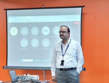 Avineon's Kakinada branch commenced its operations in 2006, initially, with a small team dedicated to a handful of utility projects. I was entrusted with the responsibility of heading the branch’s activities and its expansion in the region. Avineon's Kakinada office also achieved certification for ISO standards in Quality, Information Security, and Health & Safety, aligning it with the standards upheld by its offices in Hyderabad. Over these many years, the Kakinada team has experienced significant growth, exceeding performance benchmarks under the guidance of capable supervisors, managers, and leaders.
I have been lucky to be working with employees who have been with Avineon for more than two decades. This did not happen coincidentally but was the result of genuine connections built with the team members. We celebrated project milestone achievements, fostering continuous team bonding through a variety of activities such as Rangoli competitions, Ethnic dress days, Work-bay decorations, Women's Day celebrations, Christmas festivities, and more. In addition to these cultural events, we also organized and participated in many industry events, annual sports competitions like cricket, table tennis and badminton. All these initiatives helped us boost the morale of our employees and promote a positive work environment, thereby creating enthusiasm and loyalty among our team members to remain part of the Avineon family.
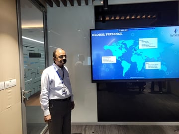 At Avineon, we have an open-door policy that encourages employees to freely share feedback, seek guidance, and address any concerns they may have. Our leaders are genuinely committed to understanding the challenges faced by employees, providing necessary technical support, offering constructive feedback on their work, and most importantly, recognizing and appreciating exceptional performance.
As the field of spatial technology continues to advance, Avineon remains committed to encourage and leverage the use of new technologies. As a part of digital transformation, we are identifying emerging areas like diverse range of imaging sensors with space, airborne, drone, vehicle, and ground-based imaging and sensing, as well as new sophisticated camera equipment which are opening tremendous opportunities to address real-world problems on a real-time basis. Vehicle borne sensors are increasingly becoming common in the industry undertaking vehicle driven imaging and mapping surveys, leading to a wide range of applications, including asset management and 3D city modelling. Drones are playing a significant role in mapping and monitoring Energy distribution assets, Urban mapping, mapping/updating for Land use Land cover for change detection activities. We see our future in Geospatial Digital Twins, AI/ML applications, which are expected to grow exponentially in the coming years. Advances in AI/ML and imaging techniques for  real-time multi-dimensional modelling and simulation will help enterprises make swift and accurate operations & maintenance decisions.
To all the aspiring minds contemplating their career paths, I extend a warm invitation to join the dynamic world of GIS. As technologies continue to advance at a rapid pace, there has never been a more exciting time to be part of this field. Whether you are passionate about mapping, spatial analysis, or utilizing geospatial data to solve real-world problems, GIS offers a wealth of opportunities for growth, creativity, and impact. Let us come together to innovate, collaborate, and explore the boundless possibilities that await us in shaping the future.

