
As an executive, manager, supervisor, administrator, or architect in a GIS/IT/ICT leadership role, your team needs an effective way to communicate the current and future value provided by your ArcGIS implementation. Your team is responsible for facilitating and collaborating on many important decisions about the setup and use of the ArcGIS platform through your GIS projects and initiatives that impact internal and external stakeholders. There are the operational decisions rising from the routine GIS software upgrades, as well as innovative projects that expand the value provided by the GIS platform with broader use of applications, SDKs, and APIs made available through the ArcGIS platform including Enterprise and Online, Esri distributors, and Esri partners.
Baselining Your ArcGIS: The Ideal Next Step for Your GIS Projects and Leadership
Your team is confronted with business decisions about managing the use cases supported by GIS; leading the architectural decisions related to the use of on-premise, cloud, or SaaS; transformative decisions such as the implementation of high-fidelity digital models of your physical assets as 3D or digital networks (ArcGIS Utility Network Management); standardization using a local government information model or the utility and pipeline data model (UPDM); or accelerating the shift towards greater use of web GIS applications and mobile GIS applications, but there are many questions that challenge your growth and outcomes:
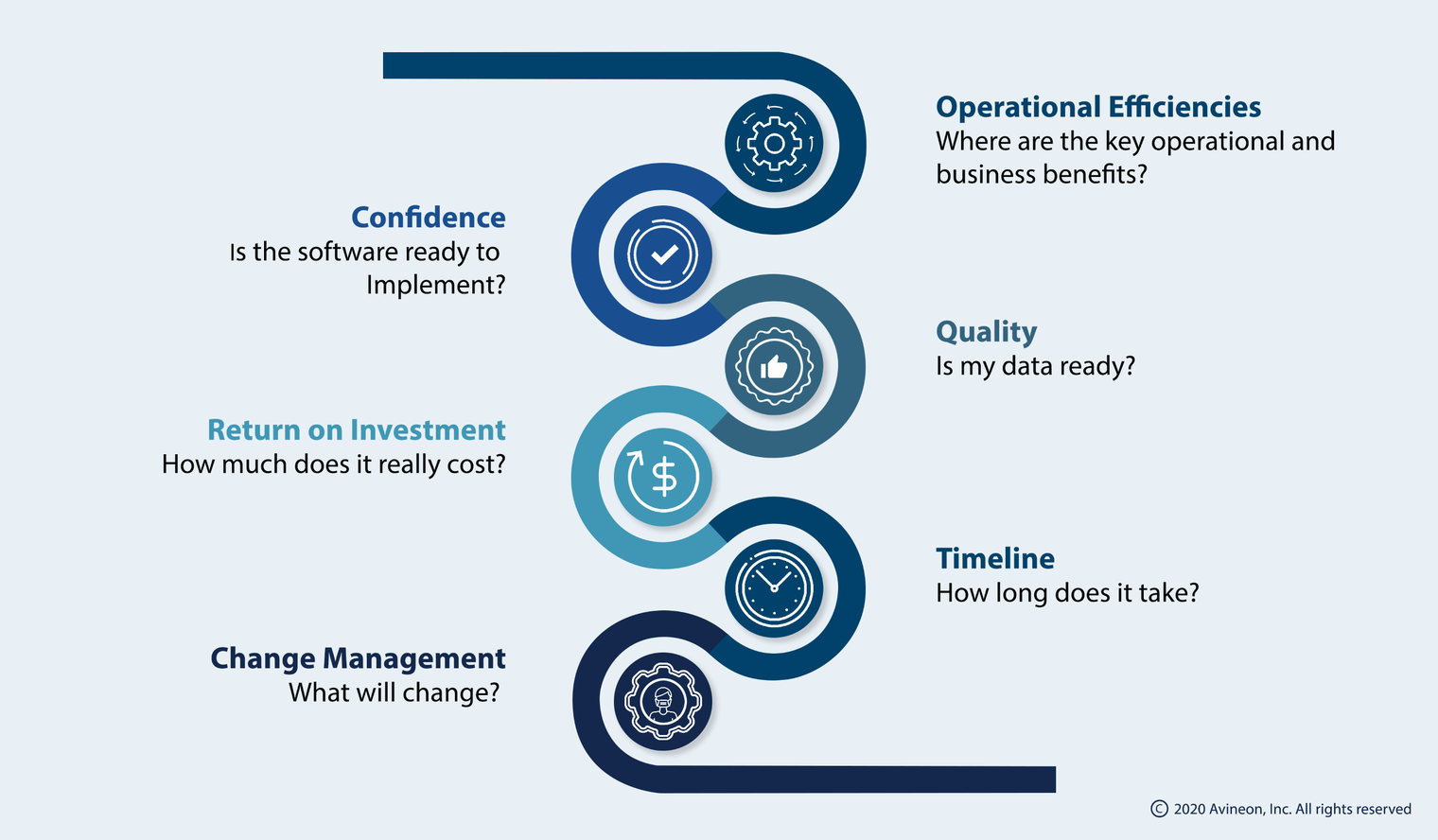
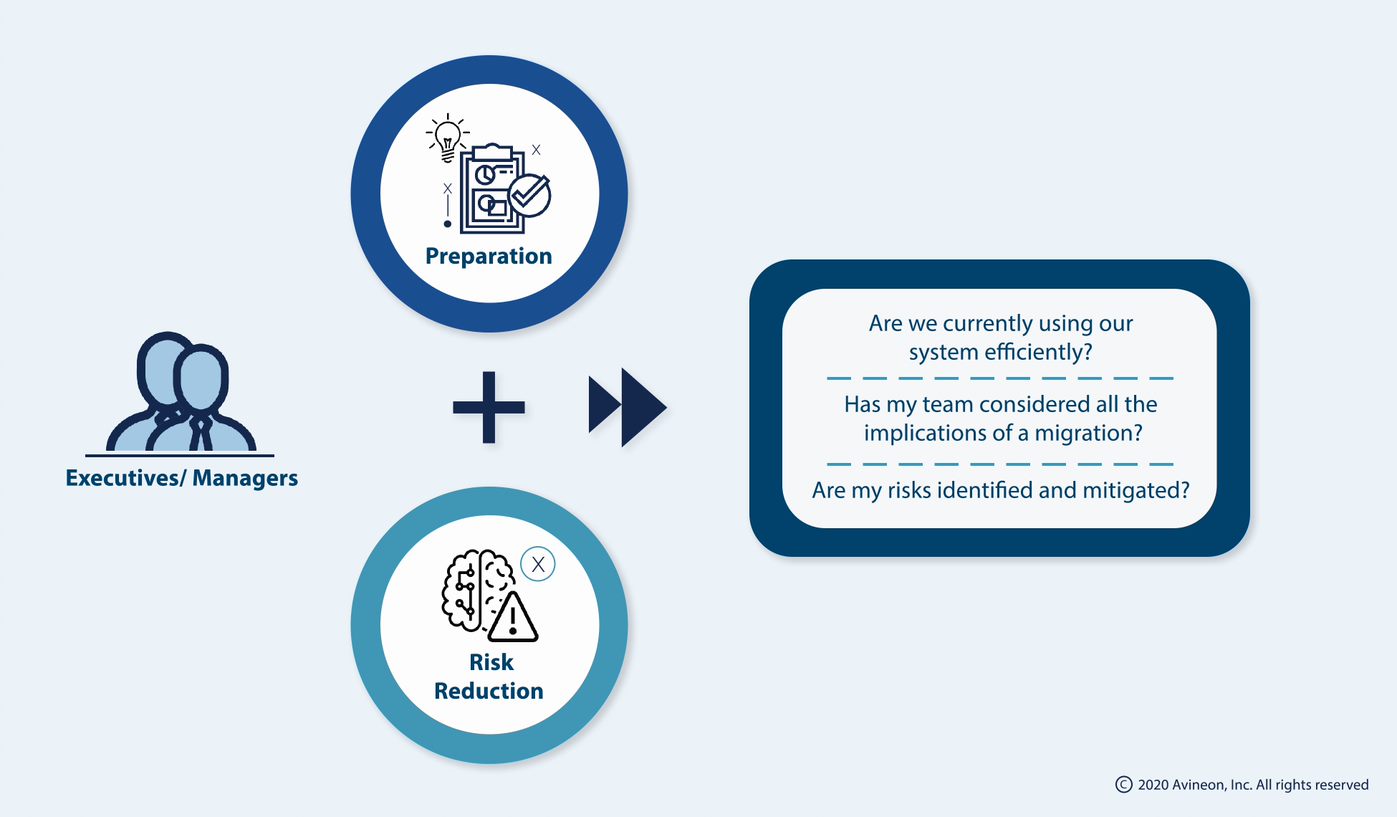
The most important questions for managers and executives as they think about preparation and risk reduction are:
As you ponder these questions and begin to understand GIS modernization, services architecture, and perhaps the new Utility Network connectivity model, it quickly becomes evident that the new release of software is not the destination, but rather a vehicle to help you reach your destination. As such, it only makes sense to begin by defining your destination, which in and of itself reveals the answer to many of these questions. However, can the destination really exist without an origin (current state)? Interestingly enough, the current state is often very illusive. Everyone on the team knows what the current state is implicitly and yet there is typically no tangible work product that provides a comprehensive view of the current implementation.
.png?width=1398&name=thumbnail%20(4).png)
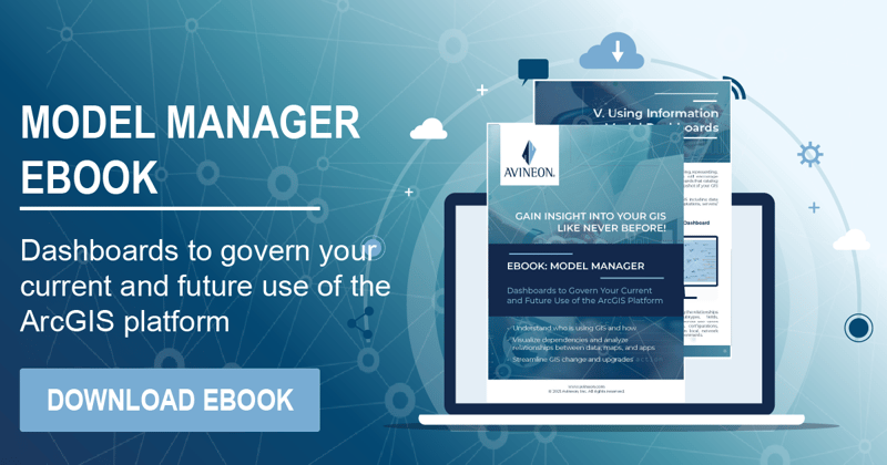
This post describes a simple step your team can take to define the current state, the baseline of your GIS. To help your team with this, Avineon offers the ArcGIS Pro Add-In, Model Manager. This easy-to-use tool gives your team a simple approach to document your current state. This documentation can be done as an independent effort by your team or working with experienced consultants from Esri or Avineon.
Regardless of the path you take, Avineon’s Model Manager reduces the risk in upgrading to the next version of Esri’s ArcGIS, whether it be Enterprise 10.6.1 or 10.7, ArcGIS Pro, or the Utility Network by truly baselining your current GIS environment.
Your Starting Point
As you pick up your phone, open your favorite maps application, and specify a destination, most if not all applications ask, “Start from Current Location?” Our phones use GPS capabilities to identify our current location. Unfortunately, there is no GPS capability for your next ArcGIS upgrade, or is there?
Avineon’s Model Manager empowers your team by helping to establish the current location (baseline) of your GIS implementation. In doing so, it delivers the value of a GPS by simplifying the impact analysis process for your future Esri version upgrades and also your potential Utility Network journey.
Document What is Used in the Data Model
It is human nature to accumulate things with the intent to use them in the future. This thinking flows into your GIS implementation as well. Years ago, companies started their implementations using data models from Esri, supplementary software vendors, industry associations such as Multi-speak or PODS, etc. These all-inclusive data models comprising feature classes, object classes, relationships, fields, etc. were adapted and extended to meet the business needs of that time. As a result, there are chunks of unused data model that were never purged and left alone for possible use in the future.
Over the years, the data models were populated with third-party data, which also varied in maintenance and usage based on current needs. The ongoing projects also brought many changes to the data model usage patterns across the company. There may have been routine software upgrades or new applications that were rolled out using ArcGIS Portal or ArcGIS Online as a result of emerging business needs expanding the spread of your GIS footprint with shape files, personnel geodatabases, file geodatabases, enterprise geodatabases, and online feature services.
Also, the shifts from centralized editing practices to distributed data editing has led to further ambiguity and inconsistency on what was populated, what was used/un-used within the data model, as well as what was maintained. The end result being varying levels of understanding of the GIS data model usage across your user communities.
A consensus on what is really used is essential to rally the team forward from the current state to the next level implementation. Model Manager provides an intuitive way to accomplish this goal by establishing a baseline of your GIS. The experts and power users across your company can document and validate the use of objects/classes, fields, and relationships in your ArcGIS or Smallworld data models. The results are summarized into a dashboard, thus establishing a consensus among your GIS, IT, business, and various other user communities on what is really being used and maintained.
Document How the GIS is Setup and Used
For the baseline to truly represent the current state, it also needs to include documentation of how the GIS data model, map, apps, etc. are setup and used today. For example, a data field in the GIS data model could be used by:
- Analysts to symbolize data in the map.
- Editors to keep the data up-to-date.
- Programmers to run a periodic report or automate editing experiences.
- Architects to enforce data quality and integrity rules.
- Viewers to understand the details of an asset.
- Operational Systems to recognize the current state of equipment.
Model Manager provides the ability for all stakeholders and user communities to document and share the manner in which various software products, applications, and information products (maps, reports, models, dashboards) are defined and used on a daily basis. These use cases, as illustrated below, become the basis for mapping and governing your GIS vision.
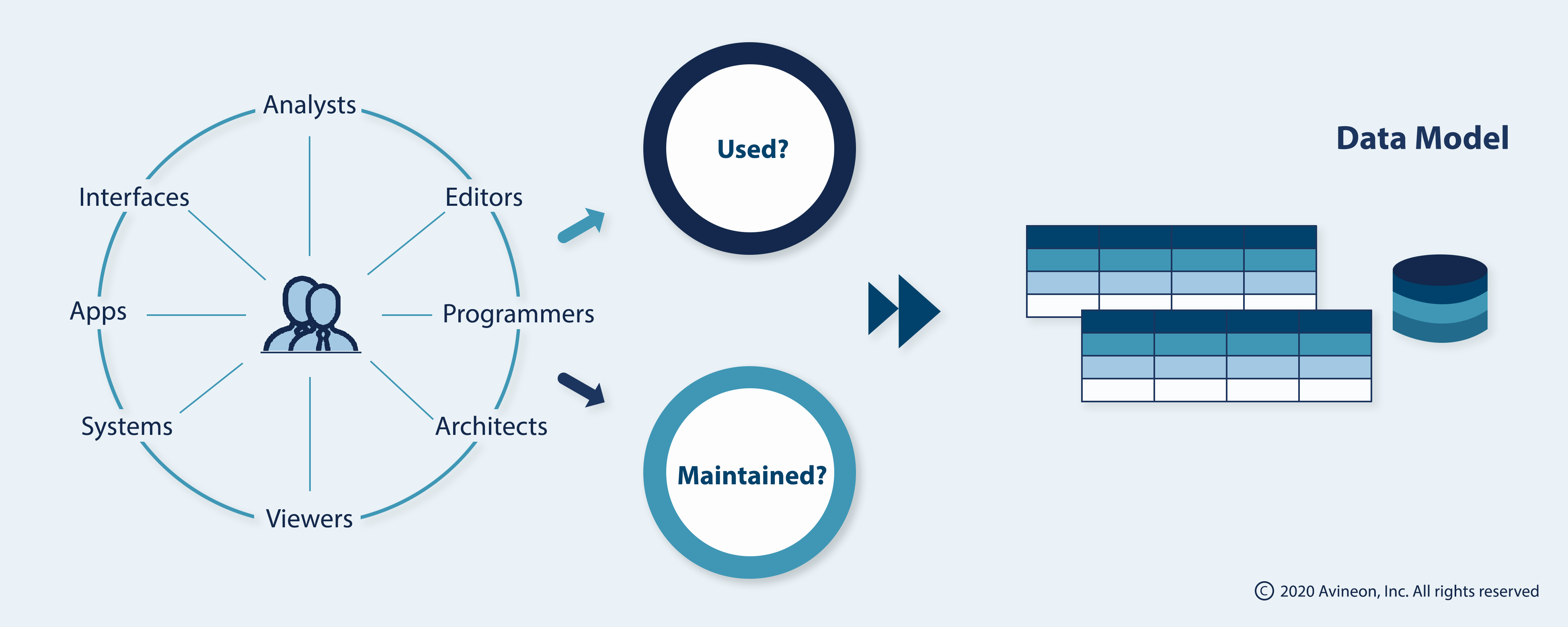
An interactive dashboard that represents (a) What is used? and (b) How is the GIS setup and used? serves as the baseline for any GIS upgrade including the journey towards the UN.
Any investment into strategic planning, data readiness assessments, jump starts, advantage programs, and digital transformation initiatives will only yield short-lived benefits without an effective baseline of your GIS’s current state.
.png?width=1920&name=thumbnail%20(1).png)
Check out or Model Manager page or contact us for more information.